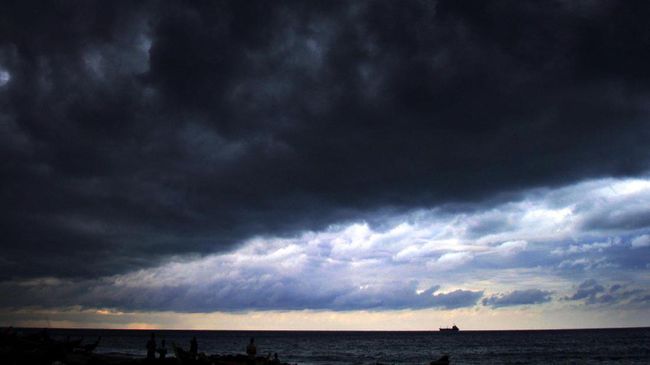
Jakarta, CNN Indonesia - The Meteorology, Climatology and Geophysics Agency (BMKG) stated that the phenomenon of the black cloud which is shaped like a tsunami wave in West Aceh and Nagan Raya districts is a phenomenon of the Arcus cloud.
BMKG weather forecaster Irsal Yuliandri said the Arcus cloud phenomenon is a rare and dangerous event.
"This phenomenon is relatively rare. Scientifically, the cloud is called the Arcus cloud," said Irsal to CNNIndonesia.com, Monday (10/8).
Irsal said the Arkus cloud consists of two parts, namely the shelf cloud and roll cloud. For the phenomenon in Aceh, he said, it is a shelf cloud. Shelf cloud is usually at the base of the cumulonimbus cloud.
Furthermore, Irsal said that the Arcus cloud was formed due to atmospheric uncertainty along or in front of the meeting of cold air masses. Then the process pushes a mass of warm, humid air up to form shelf clouds.
"These clouds are formed as a result of atmospheric instability," he said.
On the other hand, Irsal conveyed that the public must be aware of Arcus' warning. Because, he said the cloud can cause strong winds, heavy rain accompanied by lightning or thunder, and hail.
"The appeal when you see these clouds is to take cover and stay away from the area," said Irsal.